
A powerful weather system that was responsible for a tornado outbreak in the Midwest is bringing us drier air today, but thunderstorm chances return on Sunday.
That drier air in filtering in today, which will push the humidity lower and lower as temperatures warm into the upper 80s. It should be a dry afternoon all across Southeast Texas, but thunderstorms chances will return Sunday as the front lifts back in from the Gulf of Mexico.
What can we expect for Sunday and the NCAA Men’s Basketball Championship Game on Monday?
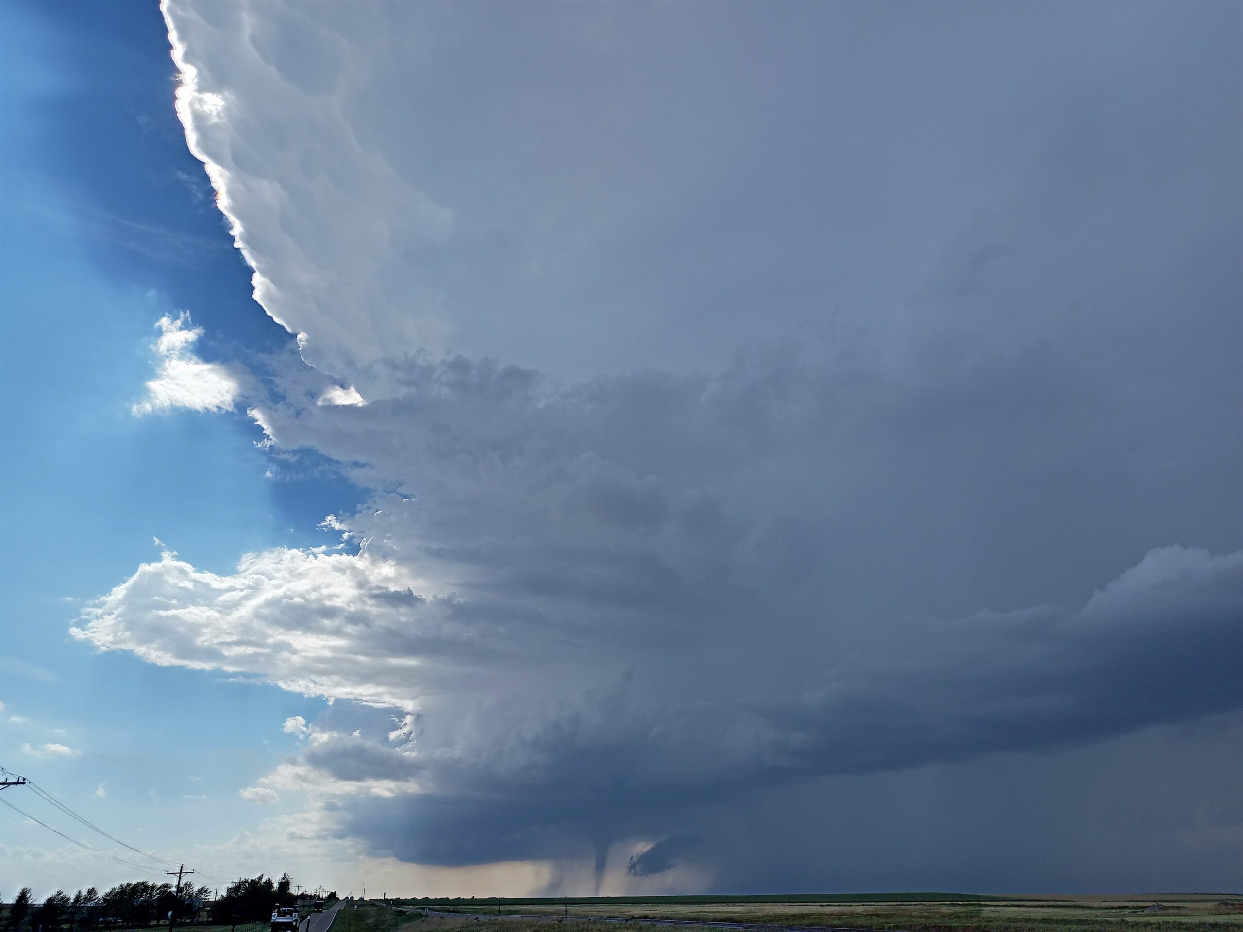
The warm front not only brings a higher chance for scattered thunderstorms Sunday afternoon, it also could bring severe weather because of the twisting winds along the front. Briefly heavy rain, hail, gusty winds, and a tornado are possible in the strongest storms, especially north of Houston. Temperatures will warm from a lower near 60 to a high in the low 80s. Monday’s weather will be dry but warm and humid. Temperatures will soar to near 90, potentially breaking the record high of 87 in 2006.
What’s the early outlook for Easter week?
It will get rather warm Monday and Tuesday behind the warm front. Highs will pop into the upper 80s both days. A cold front will blow in Wednesday with a chance for rain, and that front is expected to stall out nearby all the way into Easter weekend. If that holds true, then there will be daily chances for showers and thunderstorms Thursday through Easter Sunday.